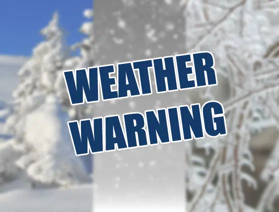
A significant winter storm is poised to strike Lanark and Leeds, bringing potential disruptions and hazards from late this afternoon through Wednesday morning. With forecasts predicting 10 to 20 cm of snow, coupled with a few hours of freezing rain and ice pellets, residents are urged to brace for challenging travel conditions.
The storm poses risks to travel, with accumulating snowfall making surfaces such as highways, roads, walkways, and parking lots difficult to navigate. Subsequent freezing rain and ice pellets could transform these surfaces into icy and slippery terrains.
Expected to begin late this afternoon, the storm is expected to stay with us until tomorrow morning. The amount of snowfall hinges on the speed of precipitation transitioning to ice pellets or freezing rain, with some areas possibly receiving up to 20 cm of snow. Our listening area could see totals of anywhere between 5 and 15 cm of snow and ice pellets.
Residents are advised to exercise caution when driving or walking in the affected areas.
Stay tuned to Lake 88 for the latest as the storm develops.

Comments